STATE weather bureau Pagasa said Wednesday there are two low pressure areas (LPAs) off southeastern Mindanao and forecast to merge.
However, the development into a tropical depression (TD) remains unlikely.
Another LPA — located 1,535 kilometers east of northeastern Mindanao and still outside the Philippine area — formed northeast of the first LPA.
The first LPA entered the Philippine area earlier Wednesday, according to PAGASA.
The weather bureau said the two LPAs will merge into a broad circulation, which will then head towards Eastern Visayas on Saturday and Bicol Region on Sunday.
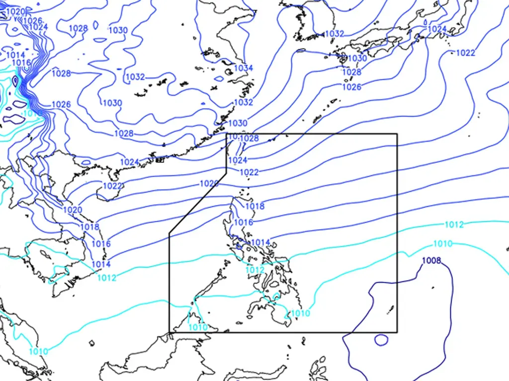
Meanwhile, cloudy skies with scattered rain showers and thunderstorms will be experienced in Palawan, the Visayas, and Mindanao due to the trough or extension of the LPA, Pagasa said in its 24-hour advisory issued at 4 p.m. Wednesday.
Cloudy skies with rains will fall over Cagayan Valley, Ilocos Norte, Cordillera Administrative Region, Aurora, Quezon, and Bicol Region brought about by northeast monsoon or amihan, the weather agency said.
Metro Manila and the rest of Luzon could expect light rains still due to the amihan.
metrosundaily

