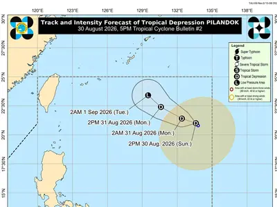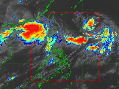
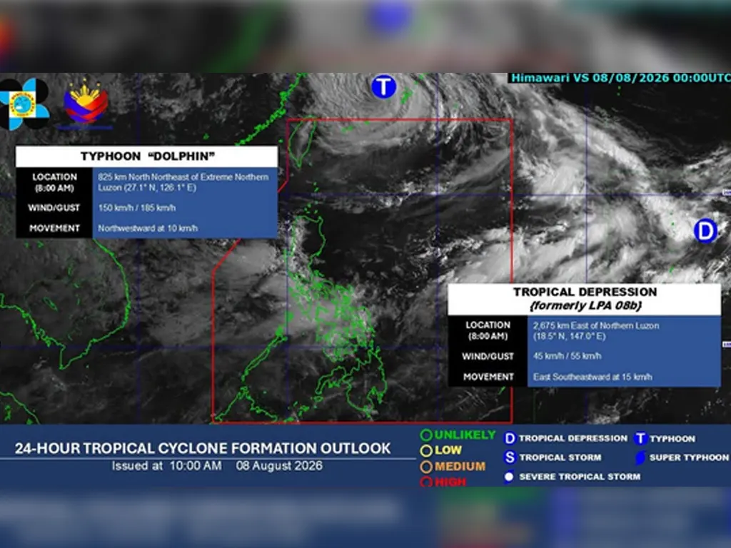
THE Philippine Atmospheric, Geophysical and Astronomical Services Administration (Pagasa) announced on Saturday that a Low Pressure Area located outside the Philippine Area of Responsibility (PAR) has intensified into a Tropical Depression as of 8:00 a.m. The newly upgraded weather system is currently being monitored closely by state meteorologists, who are tracking its movement, speed, and direction to determine whether it poses any potential threat to the country in the coming days.
Meanwhile, Pagasa continues to keep a close watch on Typhoon #DolphinPH, which previously exited the Philippine Area of Responsibility but has since exhibited an unusual wobbling motion. This erratic movement raises the possibility that the typhoon could turn back and re-enter PAR, bringing renewed uncertainty to weather forecasts across the country. State weather specialists noted that the storm’s shifting path makes it difficult to predict with certainty whether it will return or continue moving away from Philippine territory.
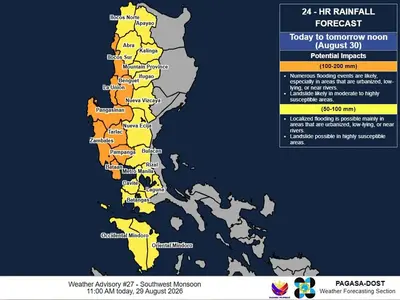
The public and local government units are advised to stay updated on the latest bulletins issued by Pagasa as both weather systems continue to evolve. Even if these disturbances remain outside the country, they may still influence prevailing weather patterns, including the Southwest Monsoon, which has already brought rains and hazardous conditions to many parts of the archipelago. Further updates will be released as soon as significant changes in location and intensity are observed.
metrosundaily