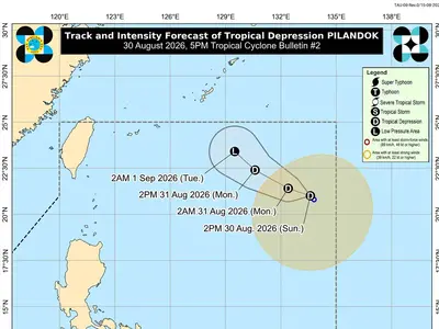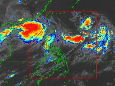

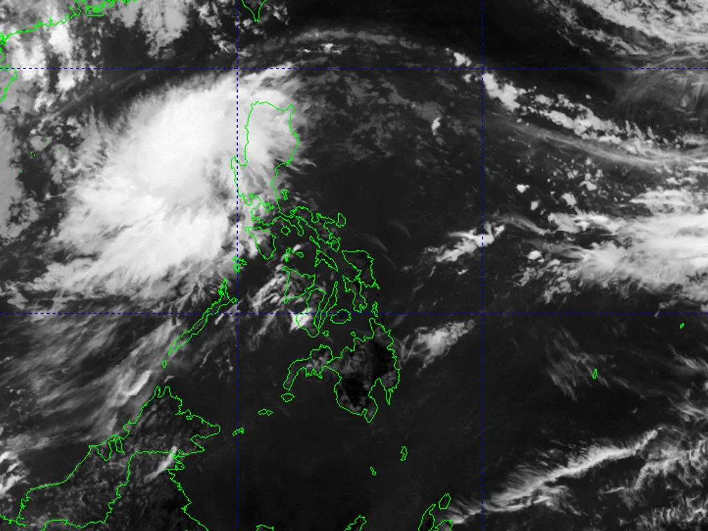
THE state weather bureau is monitoring two Low Pressure Areas (LPAs) spotted over Northern Luzon as of 3:00 a.m. on Tuesday.
The first weather disturbance was located in the vicinity of Baggao, Cagayan at coordinates 17.9°N, 121.9°E, while the second was spotted over the coastal waters of Balaoan, La Union at 16.8°N, 120.1°E. Both systems are being closely tracked for any signs of development into a tropical depression within the next 24 hours.
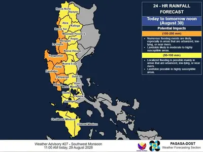
Meanwhile, the Southwest Monsoon continues to affect Southern Luzon and the western section of the Visayas region. This weather pattern is expected to bring cloudy skies with scattered rain showers and thunderstorms across the affected areas, particularly along coastal and mountainous sections. Residents in these regions are advised to remain alert to possible sudden heavy downpours that could lead to flash floods or landslides, especially in low‑lying and vulnerable localities.
Authorities urge local government units and the public to keep updated on the latest weather bulletins and take necessary precautions. Sea travel may also be risky in areas experiencing rough sea conditions due to the combined effects of the LPAs and the prevailing monsoon winds. Further advisories will be issued as soon as significant changes in the weather situation are observed.
metrosundaily