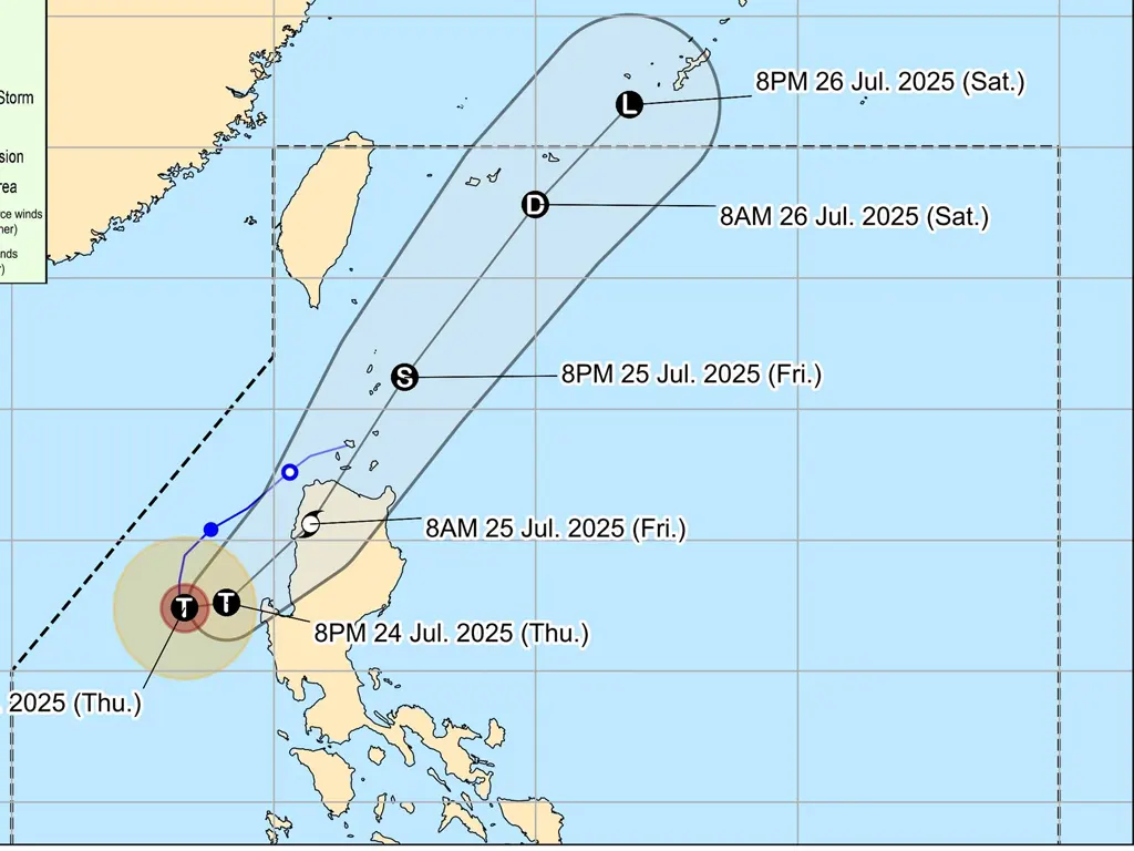
TYPHOON Emong has intensified as it continues its slow movement over the West Philippine Sea. At 10:00 AM today, its center was located approximately 220 km West Southwest of Bacnotan, La Union, or 210 km West of Dagupan City, Pangasinan (16.2°N, 118.4°E).
Packing maximum sustained winds of 120 km/h near its center and gusts of up to 150 km/h, Emong maintains a central pressure of 975 hPa. The typhoon is moving slowly in a South southeastward direction. Strong to typhoon-force winds extend outwards up to 150 km from the center. Tropical Cyclone Wind Signals (TCWS) are currently in effect across various areas of Luzon.
TCWS No. 3 (storm-force winds, 89-117 km/h) is hoisted over the northern portion of Pangasinan, the western portion of La Union, and the southwestern portion of Ilocos Sur. TCWS No. 2 (gale-force winds, 62-88 km/h) is in effect for Ilocos Norte, the rest of Ilocos Sur and La Union, central Pangasinan, Apayao, Kalinga, Abra, Mountain Province, Ifugao, Benguet, Babuyan Islands, and portions of Cagayan and Nueva Vizcaya. TCWS No. 1 (strong winds, 39-61 km/h) covers Batanes, the rest of Cagayan and Nueva Vizcaya, Quirino, the rest of Pangasinan, portions of Zambales, Tarlac, and Nueva Ecija.
Residents in these areas are urged to take necessary precautions and monitor weather updates closely. The slow movement of the typhoon means these conditions will persist for an extended period.
metrosundaily

