
One of the flooded streets in Manila during monsoon rains on Monday. Photo courtesy: Manila DRRM Office
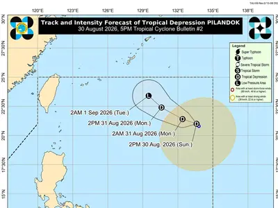
AS of 4:00 p.m. on Friday, Typhoon Inday was spotted at a position 525 kilometers east northeast of Itbayat, Batanes.
The weather system maintains its strength, carrying maximum sustained winds of 140 kilometers per hour near the center and gusts reaching up to 170 kilometers per hour. It is currently moving in a north‑northwest direction at a steady speed of 20 kilometers per hour, keeping it on a path that will gradually take it farther away from the northern islands.
In response to its presence, the state weather bureau has kept Wind Signal No. 2 raised over Batanes, the eastern portion of the Babuyan Islands, and Santa Ana, Cagayan.
Meanwhile, Signal No. 1 remains in effect over the rest of Cagayan, Isabela, Apayao, Kalinga, eastern Mountain Province, eastern Ifugao, northern Abra, and Ilocos Norte. Stormy conditions are expected to continue over Batanes until Saturday, which is also the projected time when Inday will exit the Philippine Area of Responsibility.
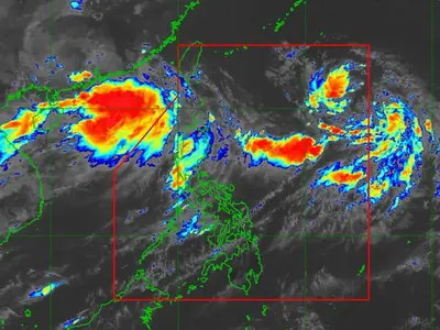
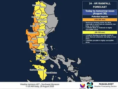
While the typhoon itself moves out, its influence will linger through the weekend as it enhances the southwest monsoon or Habagat. This weather pattern will bring moderate to heavy rainfall over a wide area, including the Lanao provinces, Zamboanga del Sur, Negros, Western Visayas, MIMAROPA, the western sections of CALABARZON and Central Luzon, Pangasinan, La Union, Benguet, and Metro Manila—with rains expected to last until Monday afternoon.
Authorities warn that this prolonged precipitation raises the risk of widespread flooding and landslides in low‑lying and mountainous areas, urging the public to stay alert, follow safety advisories, and keep track of regular weather updates.
metrosundaily