THE state weather bureau of Tuesday said signal no. 3 is possible when a severe tropical storm enters the Philippine Area of Responsibility (PAR).
“There is a high likelihood that Tropical Cyclone Wind Signals will be hoisted for Visayas, large portions of Mindanao, and several provinces in Southern Luzon due to the threat of strong to typhoon-force winds associated with the passage of ‘Rai,” Pagasa said in its 11:00 am tropical cyclone advisory on Tuesday.
“The highest possible wind signal that may be hoisted is TCWS #3,” the advisory added.
“Localities situated in the eastern portions of Visayas and Mindanao may be placed under TCWS #1 as early as this afternoon or evening,” it also read.
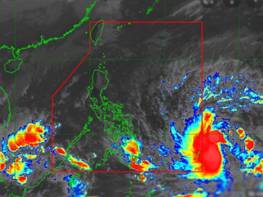
Rai, which will be identified as Odette once it enters PAR, has intensified into a severe tropical storm.
PAGASA said it was last seen 1,165 km east of Mindanao. It has maximum sustained winds of 95 kph near the center and gustiness of up to 115 kph.
It is moving west northwestward at 30 kph.
The state weather bureau said the storm will begin moving westward over the Philippine Sea on Wednesday afternoon and may make landfall in the vicinity of Caraga or Eastern Visayas by Thursday (December 16) afternoon or evening.
This storm is forecast to reach typhoon category on Wednesday. A pre-landfall peak intensity of around 155 kph may be reached by Thursday morning or afternoon.
In the next 24 hours, the trough of “Rai” will bring light to moderate with at times heavy rains over Caraga and Davao Oriental, the weater bureau said.