THE Philippine Atmospheric, Geophysical, and Astronomical Services Administration (Pagasa) has announced a high probability that the low-pressure area (LPA) currently within the Philippine Area of Responsibility (PAR) will intensify into a tropical depression within the next 24 hours.
Pagasa weather specialist Loriedin Dela Cruz stated in the agency’s 5 a.m. weather forecast that if the LPA strengthens, tropical cyclone wind signals will be rapidly raised over eastern portions of Northern and Central Luzon. The LPA was last observed 200 kilometers east-northeast of Casiguran, Aurora, or 235 kilometers east of Echague, Isabela.
The LPA is expected to bring significant rainfall to Northern Luzon, including the Ilocos Region, Cordillera Administrative Region, Cagayan Valley, Aurora, and Nueva Ecija. Meanwhile, the southwest monsoon (habagat) will continue to affect Metro Manila and the rest of Luzon, resulting in cloudy skies and rain.
Western Visayas can also expect cloudy skies with possible rain showers due to the habagat. Improved weather conditions are anticipated for the rest of the Visayas, while Mindanao will experience partly cloudy to cloudy skies with isolated thunderstorms, primarily in the afternoon and evening.
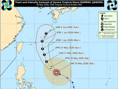
Pagasais also tracking a tropical depression outside the PAR, but it is not expected to affect the Philippines.