
THE Philippine Atmospheric, Geophysical, and Astronomical Services Administration (Pagasa) is monitoring a low-pressure area (LPA) located within the Philippine Area of Responsibility (PAR).
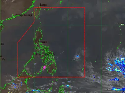
As of 2 p.m. on Monday, the LPA (6c) was observed over the coastal waters of Concepcion, Iloilo. However, Pagasa assessed that the likelihood of this LPA developing into a tropical depression within the next 24 hours is low.
This latest LPA follows the recent formation and dissipation of Tropical Depression “Auring,” which developed from LPA 6B off Batanes province last Thursday before weakening and exiting PAR on Friday. Auring was the first recorded cyclone of 2025.
Meanwhile, Pagasa forecasts rain in various parts of the country due to the influence of easterlies and the intertropical convergence zone (ITCZ).
Easterlies, warm winds originating from the Pacific Ocean, are expected to affect portions of Luzon and Visayas. The ITCZ, where winds from the northern and southern hemispheres converge, will primarily impact Mindanao.
While the LPA is not expected to significantly impact weather conditions immediately, Pagasa continues to monitor its movement and development, advising the public to stay updated on weather forecasts and advisories.