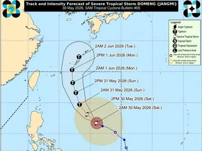
THE Philippine Atmospheric, Geophysical and Astronomical Services Administration (Pagasa) announced on Sunday that a low-pressure area (LPA) entered the Philippine Area of Responsibility (PAR) earlier this morning.
While the LPA currently has a low chance of developing into a storm within the next 24 hours, Pagasa Weather Specialist Verinoca Torres stated that the possibility remains.
The LPA was last observed 1,340 kilometers east-northeast of extreme northern Luzon, moving along the PAR boundary. Torres noted that the LPA’s proximity to northern Luzon could potentially influence weather patterns in the region.
Meanwhile, the Southwest Monsoon (Habagat) is expected to bring rainfall to northern and central Luzon over the next 24 hours. PAGASA’s forecast on Sunday afternoon indicated that Ilocos Region, Cagayan, Apayao, Abra, and Zambales may experience cloudy skies with scattered rains and thunderstorms due to the Habagat. Moderate to heavy rains in these areas could lead to flash floods or landslides.
Metro Manila, the Cordillera Administrative Region, Cagayan Valley, and Central Luzon can expect partly cloudy to cloudy skies with isolated rain showers or thunderstorms, also attributed to the Habagat. Residents in these areas are advised to be vigilant for potential flash floods or landslides during severe thunderstorms.
The rest of the Philippines will experience cloudy skies with isolated rain showers or thunderstorms due to localized thunderstorms. Similar warnings for flash floods or landslides during severe thunderstorms apply to these areas.
Pagasa reported that wind and coastal water conditions across the country will be light to moderate. Sunrise on Monday is expected at 5:45 a.m.