Skip to content
Metro Sun Daily

Metro Sun Daily

REAL NEWS * REAL TIME

  • Front Page
  • Home
  • Nation
  • Metro
  • Regions
  • Global
  • Feature
  • Entertainment
  • Opinion
  • Business
  • Sports
  • OFW
  • VP Sara Impeachment
  • Weather

Tropical storm ‘Khanun’ outside PAR maintains strength; may enter PH Saturday evening

admin July 28, 2023

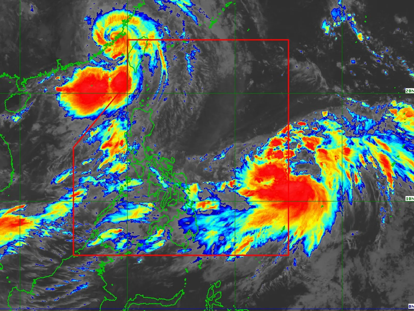
AT 10 am today, the center of Tropical Storm Khanun was estimated based on all available data at 1,345 km East of Eastern Visayas (12.6°N, 137.0°E) outside PAR.

•Intensity

Maximum sustained winds of 65 km/h near the center, gustiness of up to 80 km/h, and central pressure of 1000 hPa

•Present Movement

North Northwestward at 25 km/h

•Extent of Tropical Cyclone Winds

Strong to gale-force winds extend outwards up to 570 km from the center

GENERAL OUTLOOK FOR THE FORECAST PERIOD

• KHANUN is forecast to move generally north northwestward until Sunday afternoon over the Philippine Sea. On the track forecast, the tropical cyclone may enter the PAR region between tomorrow late evening and Sunday morning. Once inside the PAR, the domestic name FALCON will be assigned to this tropical cyclone. A west northwestward or northwestward turn may occur on late Sunday or early Monday while inside the PAR. Shifts in the track forecast remains possible as the circulation of KHANUN further consolidates.

• Khanun is forecast to continuously intensify within the next 5 days. It is forecast to become a typhoon tomorrow late evening or on Sunday early morning and reach its peak intensity by late Monday or early Tuesday.

• The hoisting of wind signal over any portion of the country due to this tropical cyclone is unlikely.

• This tropical cyclone may also enhance the Southwest Monsoon, which will trigger occasional or monsoon rains over the western portions of Luzon and Visayas beginning tomorrow or Sunday. However, the magnitude, extent, and timing of monsoon enhancement and resulting rainfall may still change due to dependence of Southwest Monsoon enhancement on the intensity and movement of this tropical cyclone.

Considering these developments, the public and disaster risk reduction and management offices concerned are advised to continue monitoring for updates related to this tropical cyclone.

Tags: khanun PAR

Post navigation

Previous Capsized boat in Binangonan leaves 30 passengers dead, scores missing
Next Speaker thanks PBBM for citing Congress’ critical role in attracting foreign investments to PH

Related Stories

Tropical Depression “Caloy” may enter PAR next week
  • Weather

Tropical Depression “Caloy” may enter PAR next week

PH ushers in dry season as amihan officially ends
  • Weather

PH ushers in dry season as amihan officially ends

PAGASA forecasts hotter temperatures due to prolonged El Niño 
  • Weather

PAGASA forecasts hotter temperatures due to prolonged El Niño 

House of Representatives
APRIL 14, 2026
ODDNEWS

  • General in Hot Water: Napolcom cites P70k shoes as grounds for charges
  • Christmas Tragedy: Italian man chokes to death on panettone during family reunion
  • Japanese Woman Weds AI: The future of relationships?
  • A Single Dad’s Desperate Act: Police Chief’s Kindness Saves the Day
  • Security guard returns lost P1.5M bracelet
  • Sole survivor of Air India crash recounts escape

Source: USD/PHP @ Sat, 18 Apr.

Weather

Manila
Current weather
-º
Sunrise-
Sunset-
-
-
Forecast
Rain chance-
-
-
Forecast
Rain chance-
-
-
Forecast
Rain chance-
Manila weather

Latest Comments

  1. 나루토카지노 on Fuel prices poised for further surge next week: diesel P170/liter; gasoline P120/liter
  2. Fcb88 Uy Tín on Former DPWH usec Cabral found unresponsive near Kennon road

  • Front Page
  • Home
  • About Us
  • Donation
  • Privacy Policy
  • Contact
  • Facebook
  • Instagram
©2026 MetroSunDaily. All rights reserved. | DarkNews by AF themes.