TROPICAL Storm Crising continues to bring strong rains and winds to several parts of Luzon, with Tropical Cyclone Wind Signal (TCWS) No. 2 remaining in effect for ten areas.
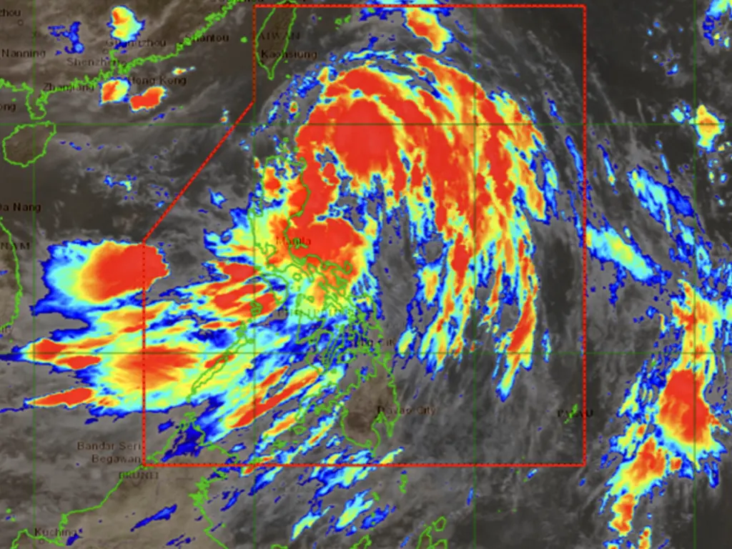
The Philippine Atmospheric, Geophysical and Astronomical Services Administration (PAGASA), in its 4 p.m. advisory, located Crising 135 kilometers east-northeast of Tuguegarao City, Cagayan.
The storm boasts maximum sustained winds of 75 kilometers per hour (kph) with gusts reaching up to 105 kph, moving west-northwest at 20 kph. Stormy weather is expected in Batanes, Cagayan, Isabela, Apayao, Abra, Kalinga, Ilocos Norte, Mountain Province, Ifugao, and Ilocos Sur. Meanwhile, Aurora, the rest of Ilocos Region, the rest of Cordillera Administrative Region, and the rest of Cagayan Valley can anticipate rains with gusty winds.
The southwest monsoon, or habagat, will contribute to rainfall across the rest of the country.
Pagasa’s 2 p.m. bulletin specifies that TCWS No. 2 (gale-force winds of 62-88 kph expected within 24 hours) covers Batanes; Cagayan (including Babuyan Islands); Isabela; Apayao; Kalinga; portions of Abra; portions of Mountain Province; portions of Ifugao; Ilocos Norte; and portions of Ilocos Sur. TCWS No. 1 (strong winds of 39-61 kph expected within 36 hours) is in effect for Quirino; Nueva Vizcaya; remaining areas of Mountain Province and Ifugao; remaining areas of Abra; Benguet; remaining areas of Ilocos Sur; La Union; portions of Pangasinan; portions of Aurora; and portions of Nueva Ecija. Residents in affected areas are urged to take necessary precautions.
The impact of Crising extends beyond the areas under TCWS. Monsoon rains are predicted for Metro Manila, Zambales, Bataan, Cavite, Batangas, Occidental Mindoro, Palawan, Western Visayas, and the Negros Island Region. PAGASA continues to monitor the storm’s progress and will issue further updates as needed. Citizens are advised to stay informed and follow instructions from local authorities.
metrosundaily

