courtesy: gettyimages
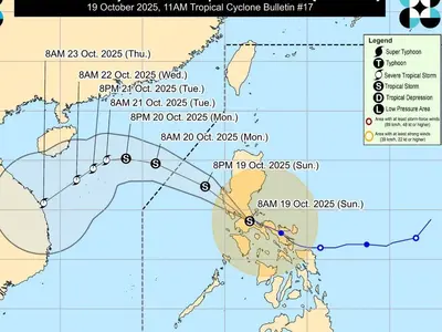
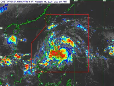
TYPHOON Danas, formerly known as Tropical Storm Bising, intensified into a typhoon on Sunday and is projected to re-enter the Philippine Area of Responsibility (PAR) by Sunday evening or early Monday morning, according to Pagasa.
The typhoon’s center was located 385 kilometers west-northwest of Itbayat, Batanes, at 10 a.m. It is packing maximum sustained winds of 120 kilometers per hour near the center, with gusts reaching up to 150 kilometers per hour, and is moving north-northeastward at 10 kilometers per hour.
Pagasa forecasts that Danas will continue its northeastward movement for the next 36 hours before potentially re-entering the northwestern boundary of the PAR. The typhoon is expected to exit the PAR shortly thereafter.
Pagasa also predicts that Danas will steadily intensify over the next 24 hours before weakening over the East China Sea due to unfavorable conditions, potentially becoming a remnant low by Thursday as it interacts with the landmass of China.
In anticipation of Danas’s impact, Pagasa issued a gale warning for the northern seaboard of Northern Luzon.
Mariners are advised to exercise extreme caution, as very rough seas with waves up to 4.5 meters high are expected in the seaboard of Batanes and the western seaboard of Babuyan Islands.
Sea travel is considered risky for all types of vessels in these areas. Rough seas with waves up to 3.5 meters are also expected in the western seaboard of Ilocos Norte, while moderate seas with waves up to 2.5 meters are anticipated in northwestern Ilocos Sur and parts of Ilocos Norte.
Smaller vessels, particularly motorbancas, are strongly advised against venturing out to sea, especially those operated by inexperienced mariners or ill-equipped vessels. The remaining seaboards of Ilocos Norte, and the western seaboards of La Union, Pangasinan, and Zambales are also expected to experience moderate to rough seas.


