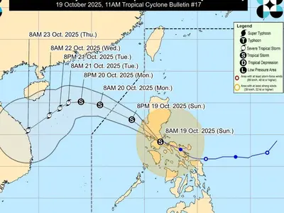
THE Philippine Atmospheric, Geophysical, and Astronomical Services Administration (Pagasa) announced Sunday afternoon that a low-pressure area (LPA) located 2,530 kilometers east of extreme Northern Luzon has a high probability of developing into a tropical depression within the next 24 hours.
While the LPA remains outside the Philippine Area of Responsibility (PAR), its potential development warrants close monitoring.
Currently, however, the Southwest Monsoon (Habagat) and the Intertropical Convergence Zone (ITCZ) are the primary weather systems affecting the Philippines.
The ITCZ is expected to bring cloudy skies with scattered rains and thunderstorms to Davao Region and Surigao del Sur. The Habagat will impact Metro Manila, CALABARZON, SOCCSKSARGEN, Pangasinan, Zambales, Bataan, Occidental Mindoro, and Palawan, also resulting in cloudy skies with scattered rains and thunderstorms. These areas should be prepared for the possibility of moderate to heavy rains, which may lead to flash floods and landslides.
Partly cloudy to cloudy skies with isolated rain showers or thunderstorms are anticipated for the Bicol Region, Western Visayas, Negros Island Region, Zamboanga Peninsula, BARMM, and the rest of Central Luzon and MIMAROPA due to the Habagat. Localized thunderstorms will affect the rest of the country, potentially causing severe thunderstorms and the risk of flash floods and landslides.
Pagasa forecasts light to moderate winds and slight to moderate coastal waters nationwide. Sunrise in Metro Manila is expected at 5:29 a.m. on Monday.