Courtesy: PCG
THE Department of Environment and Natural Resources (DENR) said in a statement that up to 21 locally-managed marine protected areas may be impacted by the oil spill from the sunken ship MT Princess Empress in Oriental Mindoro.
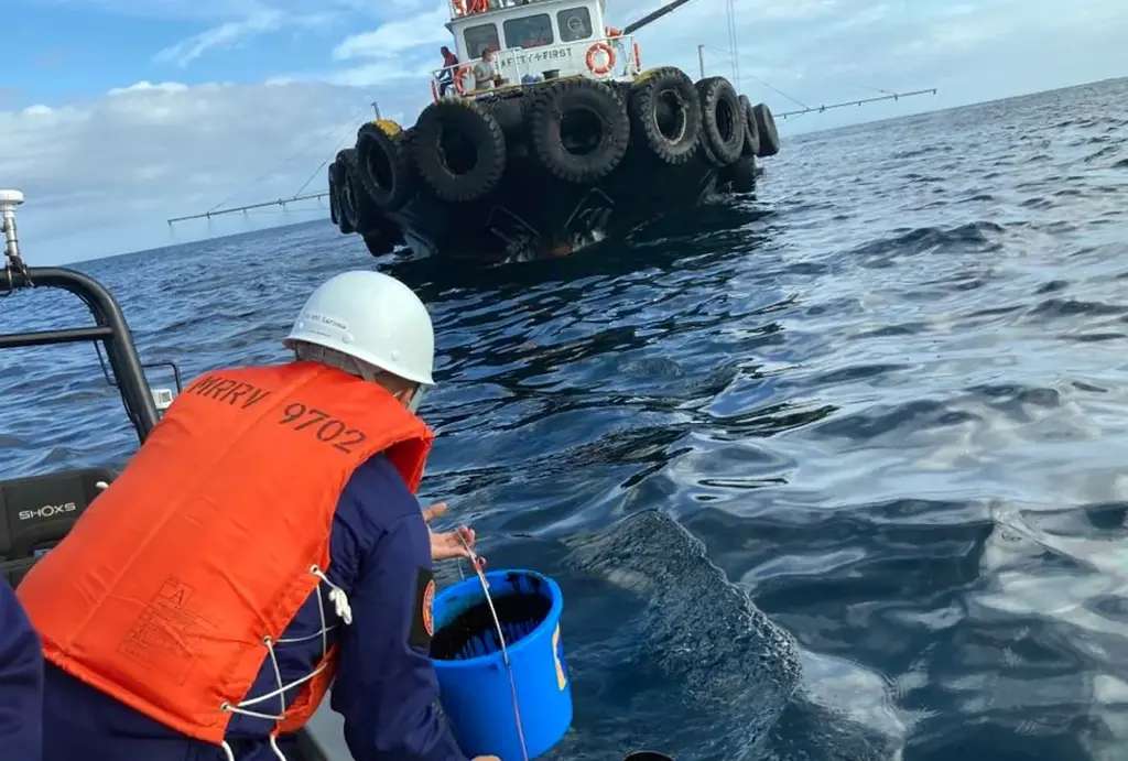
The MT Princess was carrying 800,000 liters of industrialized fuel oil. According to the latest update of the Philippine Coast Guard (PCG), the vessel is now fully submerged, with the extent of the oil spill expanding.
The oil spill can reach a maximum radius of 40 kilometers, at a point starting 5 nautical miles east of Balingawan Point in Naujan, Oriental Mindoro, according to a report by the Biodiversity Management Bureau (BMB) of the DENR.
The oil spill has reached an area six kilometers long and four kilometers wide. DENR- EMB carried out water sampling in three municipalities: Naujan, Pola, and Pinamalayan. A DENR- BMB report states that on a maximum of 40-kilometer radius from 5NM East of Balingawan Port, 21 locally-managed marine protected areas (LMMPAs) can be potentially affected due to oil spillage. It has mapped potential risk areas including seagrass beds, mangroves, and dispersion pathways for spawned fish larvae.
“It [BMB] has mapped potential risk areas including seagrass beds, mangroves, and dispersion pathways for spawned fish larvae,” the DENR said.
So far, the oil spill has reached spread over an area six kilometers long and four kilometers wide.
The DENR has created Task Force Naujan Oil Spill, composed of some of its officials, the PCG, and local government officials.
It has also started taking water samples off the coast of three towns — namely Naujan, Pola, and Pinamalayan.
“With known coordinates, PCG will install spill booms to protect the locally-managed marine protected areas. The Task Force, in cooperation with PCG and the Philippine Air Force, will conduct an aerial surveillance in the coming days to further assess the situation,” the DENR said.
metrosundaily