
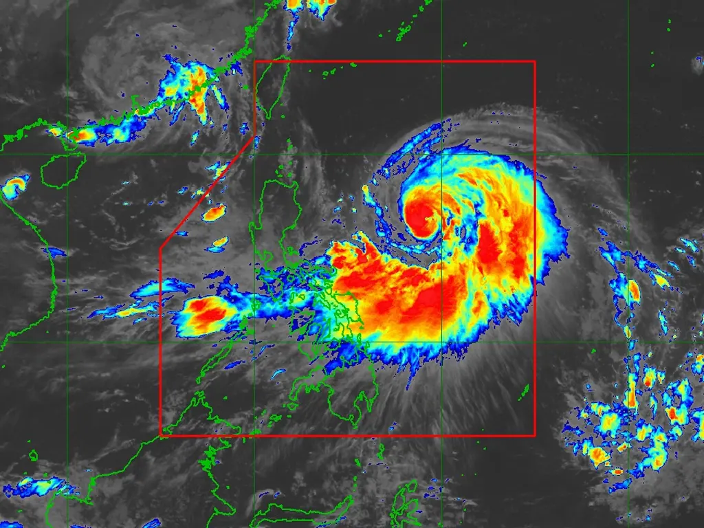
TYPHOON Nando has rapidly intensified over the Philippine Sea, according to PAGASA’s 11 a.m. advisory on Saturday.
While no storm warnings have been raised yet, the typhoon is expected to continue strengthening and may reach super typhoon category by Monday before nearing the Batanes-Babuyan Islands. Nando’s intensification is also enhancing the Southwest Monsoon, bringing strong to gale-force gusts to several regions across the country.
PAGASA forecasts strong gusts for the Bicol Region, Eastern Visayas, and Caraga today (September 20). Tomorrow (September 21), Zambales, Bataan, Tarlac, Pampanga, Bulacan, Metro Manila, CALABARZON, Bicol Region, MIMAROPA, Visayas, Northern Mindanao, Caraga, Davao Occidental, and Davao Oriental can expect similar conditions.
On Monday (September 22), the strong gusts will extend to Central Luzon (excluding areas under wind signal), Metro Manila, CALABARZON, Bicol Region, MIMAROPA, Visayas, Northern Mindanao, Zamboanga Peninsula, BARMM, SOCCSKSARGEN, Davao Occidental, and Davao Oriental. PAGASA advises the public and disaster risk reduction and management offices to take all necessary precautions to protect life and property, particularly in areas highly susceptible to hazards.
Wind Signal No. 1 is expected to be raised over Northern Luzon and the eastern portion of Central Luzon this afternoon, with the potential for Wind Signal No. 5 to be hoisted during Nando’s passage.


