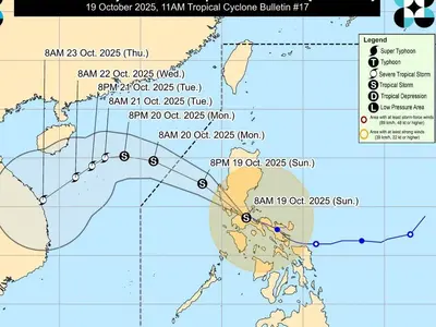
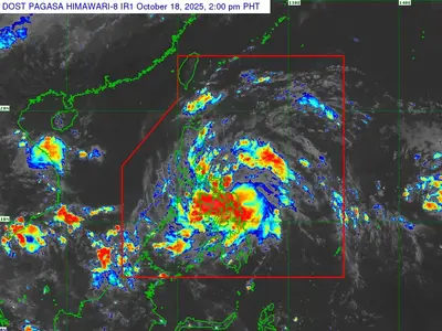
THE low pressure area (LPA) outside the Philippine area of responsibility has developed into a tropical depression, the Philippine Atmospheric, Geophysical, and Astronomical Services Administration (Pagasa) said on Monday.
Meanwhile, a cloud cluster which may develop into an LPA and storm was also spotted east of Mindanao.
Pagasa weather specialist Obet Badrina, in an early morning bulletin, reported that the tropical depression was last spotted some 1,100 kilometers west of Central Luzon.
It has maximum sustained winds at 45 kilometers per hour (kph) and gustiness of up to 55 kph while moving west-northwest at 25 kph.
“Hindi ito inaasahang makakaapekto sa ating bansa at malapit na ito sa bansang Vietnam,” said Badrina.
(It is not expected to affect coutntry as it is already close to Vietnam.)
Badrina, however, said that the effects of the southwest monsoon or habagat were strengthened by the tropical depression, and will continue to prevail over the western portions of Luzon, specifically, Palawan and Mindoro.
Cloudy skies and rain are also forecast in Western Visayas and Mindanao.
The cloud cluster east of Mindanao, meantime, may become a storm in the coming days.
“Posibleng ito ay maging LPA sa mga susunod na oras at araw, at posibleng maging bagyo within the week,” said Badrina.
(It may become an LPA in the next hours and days, and it is possible that it will become a typhoon within the week.)
Based on its latest track, the cloud cluster is heading towards Mindanao and Visayas and is forecast to bring rain to the Visayas, Mindanao and Southern Luzon by Tuesday or on Wednesday.