THE weather bureau on Saturday said tropical storm Falcon, which entered the Philippine Area of Responsibility early Saturday morning, together with Tropical Storm Egay (currently over mainland China) will enhance the southwest monsoon or habagat to bring occasional to monsoon rains over the western portions of Luzon and the Visayas in the next three days, PAGASA reported.
The center of Tropical Storm Falcon was estimated 1,360 kilometers east of Central Luzon packing maximum sustained winds of 65 kilometers per hour near the center and gustiness of up to 80 km/h
Falcon is moving west northwestward at the speed of 15 km/h.
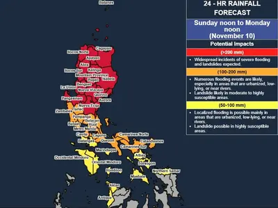
Heavy rainfall
Zambales, Bataan, and Occidental Mindoro will have monsoon rains due to the southwest monsoon. Flooding or landslides may occur in these areas due to scattered to widespread rains.
Metro Manila, Pangasinan, Tarlac, Pampanga, Bulacan, Cavite, Batangas, and Northern Palawan including Calamian and Cuyo Islands will have occasional rains due to the habagat with the possibility that flooding or landslides mat occur due to moderate to heavy rains.
Eastern Visayas and Caraga will have cloudy skies with scattered rain showers and thunderstorms due to the Trough of Falcon. The weather bureau also warns that flash floods or landslides may occur due to moderate to at times heavy rains.
The Cordillera Administrative Region, Bicol Region, the rest of Visayas, the rest of Central Luzon, the rest of CALABARZON, the rest of Ilocos Region, and the rest of MIMAROPA will have cloudy skies with scattered rain showers and thunderstorms also due to the habagat with the possibility of flash floods or landslides occurring due to moderate to at times heavy rains.
The rest of the country will have partly cloudy to cloudy skies with isolated rain showers or thunderstorms due to the habagat and localized thunderstorms. Moderate to at times heavy rains may cause flash floods or landslides, PAGASA warned.
Severe Winds
“The hoisting of Wind Signal due to Falcon over any locality in the country remains unlikely based on the current forecast scenario,” PAGASA reported.
The enhanced Southwest Monsoon, however, will bring gusty conditions over the following areas, especially in coastal and upland/mountainous areas exposed to winds on Saturday these areas are Zambales, Bataan, Palawan, Occidental Mindoro, Romblon, and most of CALABARZON, Bicol Region and Western Visayas.
Hazards affecting coastal waters
A Gale Warning is in effect over several coastal waters along the western seaboard of Luzon, the eastern and southern seaboards of Southern Luzon, and the eastern and western seaboards of Visayas.
Sea travel is risky for small seacrafts while operating large seacrafts in gale conditions requires experience and properly equipped vessels.
Mariners without proper experience or operating ill-equipped vessels are advised to remain in port or seek safe harbor.
Track and Intensity Outlook
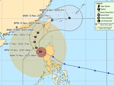
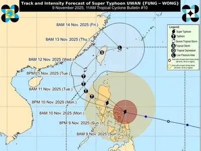
Tropical Storm Falcon is forecast to move generally north northwestward today through tomorrow, then turn northwestward on Monday and will remain over the Philippine Sea and far from the Philippine landmass throughout the forecast period.
Falcon may exit the PAR between Monday afternoon and Monday evening and then turn west northwestward, pass very close or make landfall in the Okinawa Islands of the Ryukyu Archipelago between Monday evening and Tuesday morning, and move over the East China Sea towards the east coast of China. —


