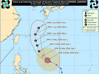
THE Philippine Atmospheric, Geophysical and Astronomical Services Administration (Pagasa) announced on Thursday that a tropical depression located outside the Philippine Area of Responsibility (PAR) is anticipated to enter the country’s monitoring area next week.
If it enters, the weather system will be named “Caloy.” Currently, the tropical depression is situated approximately 2,880 kilometers east of Northeastern Mindanao, moving slowly westward with maximum sustained winds of 55 kilometers per hour (kph) and gusts of up to 70 kph.
Pagasa weather specialist Chenel Dominguez clarified that while the tropical depression is projected to enter PAR, the probability of it making landfall remains low. Dominguez explained that based on its current trajectory, the system is likely to move northward once it enters the monitoring area.
This northward movement significantly reduces the chances of it directly impacting any part of the Philippines. Therefore, residents should remain vigilant about the potential entry of “Caloy,” but immediate concerns about a direct landfall are minimal at this stage.
The state weather bureau continues to monitor the tropical depression closely. Despite the low probability of landfall, Pagasa emphasizes the importance of staying updated on weather advisories.
The agency’s continuous tracking and analysis will provide more precise information regarding “Caloy’s” path and potential effects as it approaches the PAR. Residents in eastern sections of the country are encouraged to remain vigilant and prepared for any possible changes in weather conditions.