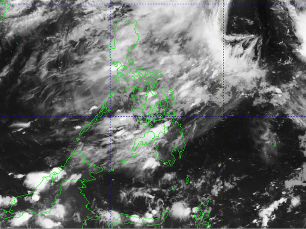
THE state weather bureau on Sunday said that it is monitoring another low pressure area (LPA) and may enter the Philippine Area of Responsibility (PAR) on Monday.
The LPA is located east of Northern Luzon outside PAR.
“(It) may enter PAR by Monday, exit by Tuesday, re-enter by Thursday and stay over northern Philippine Sea until Sunday,” said Pagasa.
They are also anticipating a High Pressure Area over northern Philippine Sea on Wednesday and it may persist until Friday.
Pagasa said most of the country will experience warm and humid conditions through midday or early afternoon.
There will be intense thunderstorms with moderate to heavy rains, strong winds, lightning, and thunder are likely over Central and Southern Luzon Monday and Tuesday; Visayas Monday and Thursday; Mindanao throughout the week.
Scattered rains from the slight Habagat pull may also be experienced in Southern Luzon and Visayas Saturday and Sunday, said Pagasa.
Metro Manila may experience cloudy weather with thunderstorm on Monday; mostly sunny and dry Tuesday and Wednesday; and sunny, humid, with afternoon or evening thunderstorm Thursday through the weekend.
metrosundaily