THE state weather bureau said tropical depression ‘Ineng’ is less likely to bring rough sea conditions over any seaboard of the country through the forecast period.
However, due to the Southwest Monsoon that it is slightly enhancing, a Gale Warning is in effect for the seaboards of Northern Luzon, the western seaboard of Central Luzon, the western and southern seaboards of Southern Luzon, and the western seaboard of Visayas.
Some disruption in civilian maritime activities is expected over these areas (e.g., suspension of sea travel) due to hazardous sea condition.
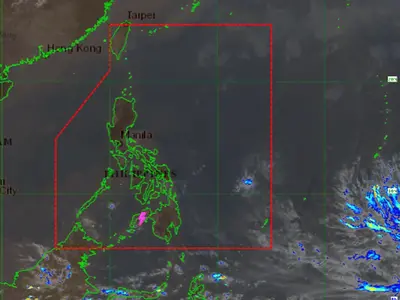
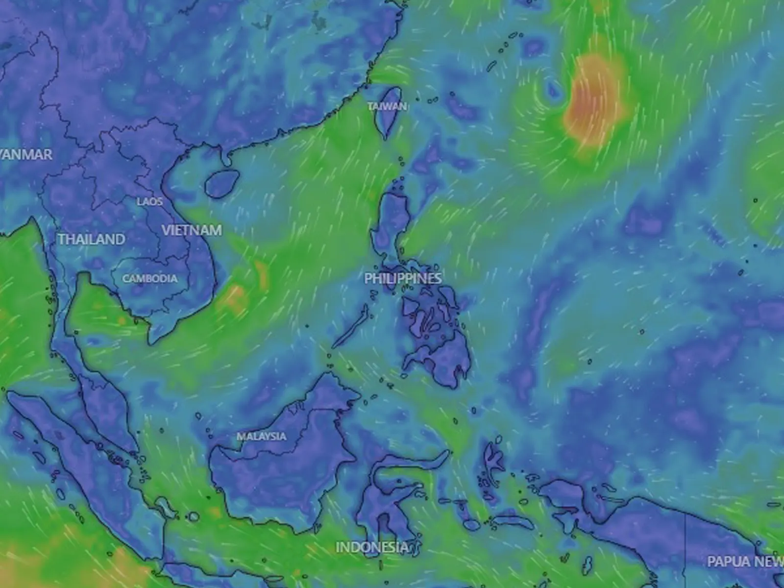
Ineng is forecast to remain far from the Philippine landmass. Accelerating generally northeastward or north northeastward while gradually intensifying, it may exit the Philippine Area of Responsibility tomorrow morning or afternoon. Outside the PAR region, INENG will continue in its northeastward or north northeastward movement towards the waters south of mainland Japan.
Tropical Depression Ineng is not directly affecting the country, although it is slightly enhancing the Southwest Monsoon (alongside HAIKUI, which enhances it more). The enhanced monsoon will bring occasional rains over the western portions of Northern and Central Luzon in the next three days.
With HAIKUI expected to degenerate into a remnant low over mainland China and Ineng forecast to move north northeastward away from the country, the Southwest Monsoon is forecast to weaken within the week.
The enhanced Southwest Monsoon will continue to bring gusty conditions over the following areas not under any Wind Signal, especially in coastal and upland/mountainous areas exposed to winds.