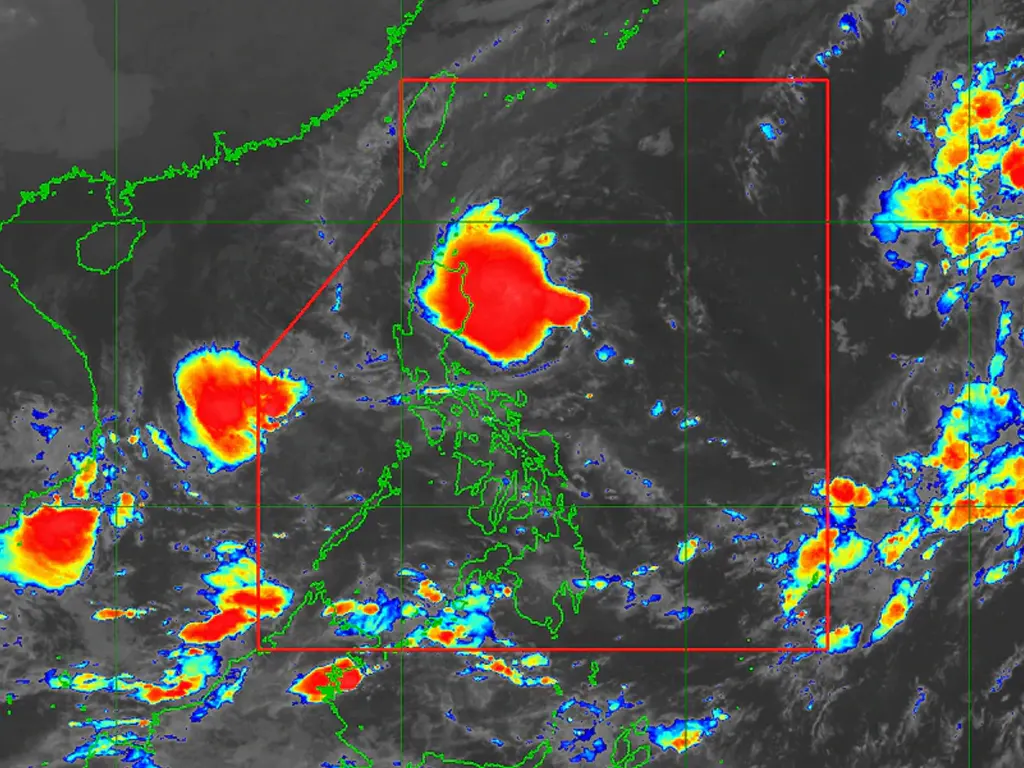
TROPICAL depression Maymay is expected to weaken as it makes its landfall in Central Luzon, the state weather bureau said early Wednesday.
In its 5 a.m. weather bulletin, PAGASA said Maymay was last sighted at 305 km east of Baler, Aurora packing maximum sustained winds of 45 kph near the center, with 55 kph gusts.
The agency projected Maymay will continue to move slowly westward or remain almost stationary before it moves towards the eastern coast of Central Luzon on Wednesday.
“Maymay is forecast to weaken into a low pressure area as it approaches the landmass,” it said.
The agency raised Tropical Cyclone Wind Signal no. 1 over the following areas, where 39 to 61 kph winds and intermittent rains are expected within 36 hours:
Isabela
Quirino
Nueva Vizcaya
Aurora
Nueva Ecija
Extreme northern portion of Quezon (General Nakar, Infanta) including Pollilo Islands
PAGASA said that on Wednesday, moderate to heavy with at times intense rains will fall in Cagayan and Isabela while light to moderate with at times heavy rains will be experienced in Aurora.
metrosundaily

