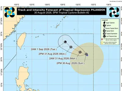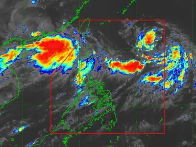
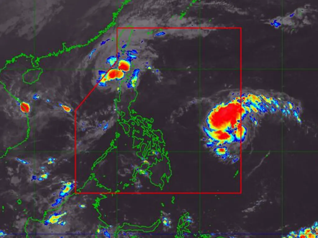
A Tropical Storm has entered the Philippine Area of Responsibility (PAR) and has been spotted east of Eastern Visayas.
According to PAGASA, it has been named Ofel.
The center of Tropical Storm Ofel was last spotted 1,125 kilometers east of Eastern Visayas with wind speeds reaching 75 kilometers per hour and gusts of up to 90 kilometers per hour.
It is moving west northwestward at a speed of 25 kilometers per hour.
Meanwhile, Severe Tropical Storm Nika was spotted 150 kilometers west of Laoag City, Ilocos Norte. It has wind speeds of 95 kilometers per hour and gusts of up to 115 kilometers per hour. It is moving west northwestward at a speed of 20 kilometers per hour.
The third storm, which is still outside PAR, was spotted 2,870 kilometers east of Southeastern Luzon. It has wind speeds reaching 85 kilometers per hour and gusts of up to 105 kilometers per hour.
It is moving westward at a speed of 10 kilometers per hour.
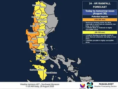
Tropical Cyclones Nika and Ofel will bring moderate to heavy rains to Ilocos Norte, Cagayan, and Batanes.
Tropical Cyclone Wind Signal (TCWS) No. 1 has been raised in the following areas:
Ilocos Norte
Northern portion of Ilocos Sur (Lidlidda, City of Candon, Galimuyod, Banayoyo, Burgos, Santiago, Santa Maria, San Esteban, Nagbukel, Narvacan, Caoayan, Santa, Bantay, City of Vigan, Santa Catalina, San Vicente, San Ildefonso, Santo Domingo, Magsingal, Cabugao, San Juan, Sinait)
Northern portion of Apayao (Kabugao, Pudtol, Luna, Santa Marcela, Calanasan, Flora)
Northern and western portions of Abra (Tineg, Lagangilang, Bucay, Villaviciosa, Lagayan, San Juan, La Paz, Danglas, Pilar, San Isidro, Peñarrubia, Tayum, Dolores, Bangued, Pidigan, Langiden, San Quintin)
Western portion of Babuyan Islands (Calayan Is., Dalupiri Is., Fuga Is.)
Northwestern portion of mainland Cagayan (Abulug, Pamplona, Sanchez-Mira, Santa Praxedes, Claveria)
Ofel is expected to move west northwestward until Thursday morning before turning northward and may make landfall in Northern or Central Luzon by Thursday afternoon or evening.
Meanwhile, Typhoon Nika will continue to move westward in the West Philippine Sea and will exit PAR in the next 12 hours.