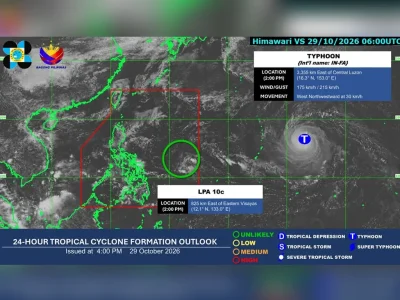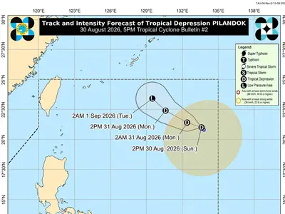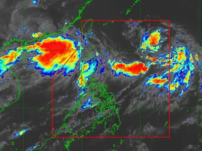

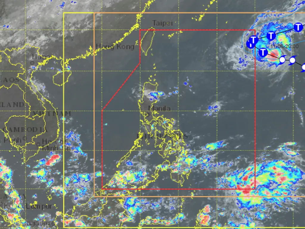
STATE weather bureau PAGASA confirmed Sunday that Severe Tropical Storm Cempaka has maintained its strength while still outside the Philippine Area of Responsibility (PAR). As of the 11:00 a.m. advisory, the system was located 1,720 kilometers east of extreme northern Luzon, packing maximum sustained winds of 110 km/h near the center and gusts reaching 135 km/h.
It is moving westward at 25 km/h and is forecast to strengthen into a typhoon later Sunday before gradually weakening starting Tuesday, November 10.
Cempaka is expected to enter PAR either late Sunday evening or early Monday, November 9, at which point it will be assigned the local name “Samuel.”
PAGASA emphasized, however, that the storm will not make landfall nor directly affect the country’s weather. It will remain over the Philippine Sea, turning north‑northeastward by Monday afternoon or evening and exiting the PAR through the northeastern boundary after a brief stay.
While no heavy rains or wind impacts are anticipated on land, the Northeast Monsoon or amihan will drive moderate to rough seas along the seaboards of Northern and Central Luzon over the next 24 hours. Mariners are advised to exercise caution when venturing into these waters. PAGASA will continue issuing regular updates on the system’s progress.
metrosundaily