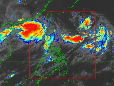
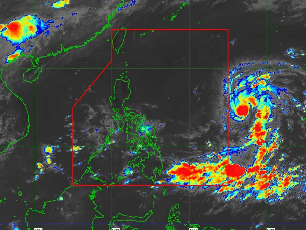
THE state weather bureau PAGASA reported on Saturday that Tropical Storm Mekkhala has slightly gained strength while moving across the Philippine Sea, east of Southeastern Luzon, and remains outside the Philippine Area of Responsibility (PAR).
In its 11:00 AM advisory, the agency placed the storm’s center at approximately 1,590 kilometers east of Southeastern Luzon, located at coordinates 13.7°N, 137.7°E. It currently packs maximum sustained winds of 85 km/h near the center, gusts reaching up to 105 km/h, and a central pressure of 996 hPa, moving steadily westward at a speed of 20 km/h. Strong to gale‑force winds extend as far as 350 kilometers outward from the center, covering a wide surrounding area.
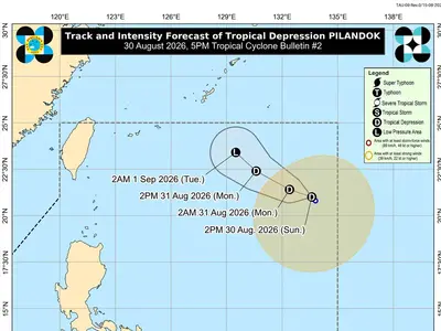
According to the latest forecast, the system is projected to shift its direction toward the west‑northwest and is likely to enter the PAR later tonight or by tomorrow morning, June 21.
Once inside the country’s monitoring boundary, it will be assigned the local name “Francisco.” PAGASA noted that while a direct landfall is not the most probable scenario at this stage, the storm is expected to keep intensifying and could possibly reach typhoon strength as early as Sunday. Authorities continue to monitor its path closely, as slight changes in movement could alter its impact on land areas.
By Tuesday, June 23, and Wednesday, June 24, the cyclone is expected to be close enough to land to influence weather and sea conditions, prompting the bureau not to rule out the possibility of raising Wind Signal No. 1 over the northern and eastern sections of Northern Luzon.
Starting Tuesday, the storm will begin affecting weather in Extreme Northern Luzon, while marine warnings will also be in effect — with moderate to rough seas anticipated along the northern and eastern coastal waters of the region. PAGASA advised residents, especially those in coastal and mountainous areas, to stay updated on subsequent bulletins as the track and intensity forecasts may still change in the coming days.
metrosundaily